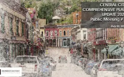
This was our third public session and the most technical: utilities, roads, and how near-term fixes connect to long-term growth. We’ll use your feedback to shape draft plan updates this fall, then move to Planning Commission and City Council in early 2026.
What we presented (highlights)
- Utilities, mapped at last. We combined AI-derived utility data with on-the-ground verification to create a working map of water, sewer, storm, power, gas, and fiber. This becomes the city’s maintainable base map.
- Water Master Plan underway. Goal: looped system for better pressure, fire flows, and redundancy; upgrades to treatment, pumps, storage as needed.
- Stormwater rehab. Many pipes are at end-of-life; trenchless lining can fix problem segments quickly with minimal surface disruption.
- Roads & safety. Street types for consistency; modern roundabouts for safer, slower entries; a mountable mini-roundabout near Town Hall; a west-side bypass and Barrett Road improvements to provide alternate routes and emergency egress.
- Downtown experience. A concept for a pedestrian-first Main Street, a ceremonial welcome plaza, and tools to study development at the right scale and form (no buildings promised—just the maximum envelopes for testing).
What we heard
- “How do we pay for this?” The planning work is largely grant-funded; construction happens in phases through the city’s capital program, with new development expected to contribute when it drives demand.
- “Fix what we have.” We heard the concern. Priorities will include safety, winter performance, and critical maintenance on steep segments—alongside targeted new links that reduce cut-through and improve emergency access.
- “Development must meet city standards.” Agreed. Updating code and design guidelines is part of the next phase so projects pay their way and deliver compliant streets/sidewalks.
What happens next
- Publish maintenance priorities and explain how roundabouts/bypass improve safety and access.
- Water Master Plan checkpoints (pressure, fire flow, looping) posted as we complete them.
- Draft code and design updates to lock in “development pays” and protect historic character & view-sheds.
- Parking & Access dashboard: current supply, peak constraints, and how future projects contribute.

0 Comments